Proposed Wilderness in the San Juan-Canyonlands Region
These photos are for viewing purposes only. If you are interested in obtaining copies of these images for personal, commercial, or media use, please contact the photographer directly or email photographs@suwa.org
|
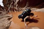
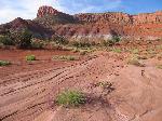
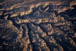
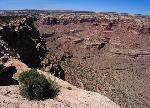
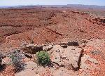
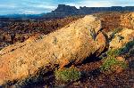
White Canyon |
White Canyon |
|
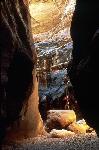
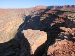
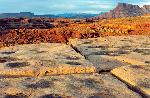
White Canyon |
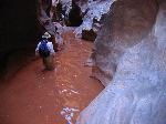
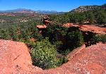
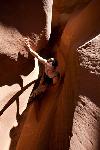
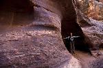
White Canyon Narrows |
|
White Canyon |
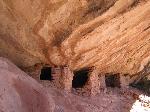
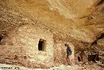
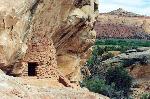
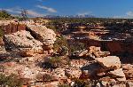
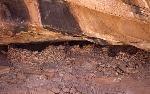
Arch Canyon |
|
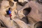
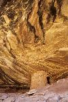
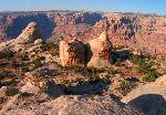
Arch Canyon |
Arch Canyon |
|
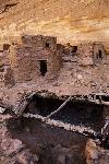
Arch Canyon |
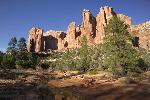
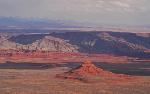
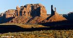
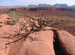
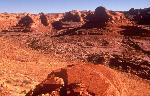
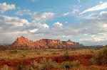
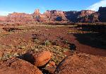
Valley of the Gods |
|
Valley of the Gods |
Valley of the Gods |
|
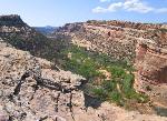
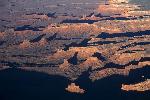
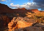
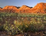
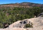
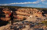
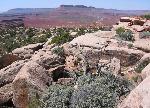
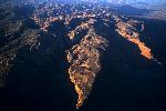
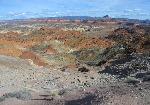
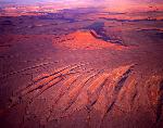
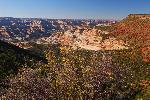
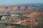
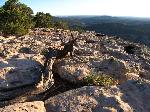
Red Rock Plateau |
Red Rock Plateau |
|
Red Rock Plateau |
Red Rock Plateau |
|
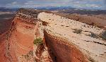
Cedar Mesa and Comb Ridge |
Cedar Mesa |
|
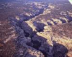
Comb Ridge |
Comb Ridge |
|
Comb Ridge |
Comb Ridge |
|
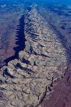
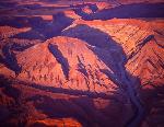
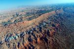
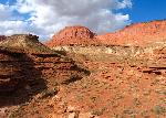
Raplee Ridge |
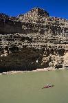
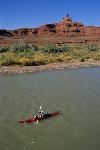
San Juan River |
|
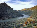
San Juan River |
San Juan River |
|
San Juan River |
Cedar Mesa |
|
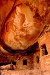
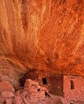
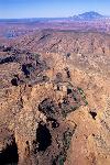
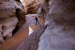
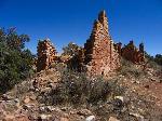
Water Canyon and Grand Gulch |
Grand Gulch |
|
Grand Gulch |
Hammond Canyon |
|
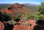
Mancos Jim Butte |
Road Canyon |
|
Road Canyon |
Road Canyon |
|
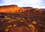
Upper Red Canyon |
Upper Red Canyon |
|
Nokai Dome |
Castle Creek/Nokai Dome |
|
Mike's Canyon/Nokai Dome |
Nokai Dome |
|
Nokai Dome |
Lockhart Basin |
|
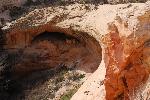
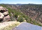
Dark Canyon |
Dark Canyon |
|
Tabernacle |
Grand Gulch |
|
Lime Creek |
Copper Point |
|
Copper Point |
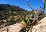
The Needle |
|
Tuwa Canyon |
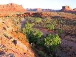
Indian Creek |
|
Indian Creek |
San Juan River area |
|
San Juan River |
San Juan River |
|
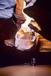
White Canyon |
White Canyon Narrows |
|
White Canyon |
White Canyon |
|
Butler Wash |
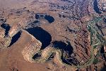
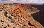
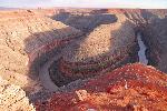
Gooseneck |
|
Shay Mountain |
Bridger Jack Mesa |
|
Bridger Jack Mesa |
Cross Canyon |
|
Monument Canyon |
Tin Cup Mesa |
|
Demon's Playground |