Photos of Wilderness Threatened by BLM Management Plans
These photos are for viewing purposes only. If you are interested in obtaining copies of these images for personal, commercial, or media use, please contact the photographer directly or email photographs@suwa.org
|
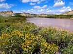
Upper Desolation Canyon
|
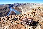
Upper Desolation Canyon
|
|
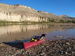
Upper Desolation Canyon
|
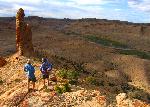
White River
|
|
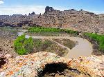
White River
|
White River

|
|
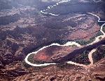
White River
|
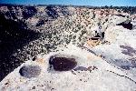
Wolf Point
|
|
San Rafael Reef

|
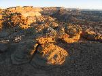
Seger's Hole
|
|
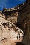
Crack Canyon
|
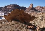
Bottleneck Peak
|
|
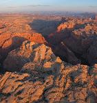
Mexican Mountain
|
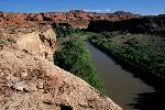
San Rafael River
|
|
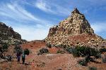
Upper 1st Canyon
|
Upper Kanab Creek

|
|
Parunuweap Canyon

|
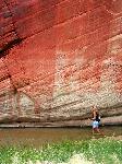
Parunuweap Canyon
|
|
Parunuweap Canyon

|
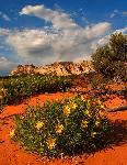
Elk Heart Cliffs
|
|
Red Canyon
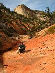
|
Red Canyon
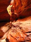
|
|
White Cliffs
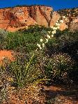
|
White Cliffs
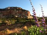
|
|
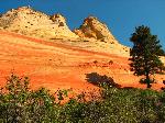
White Cliffs
|
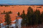
Moquith Mountain
|
|
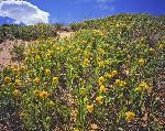
Moquith Mountain
|
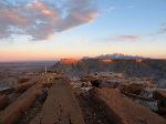
Mount Ellen proposed wilderness
|
|
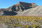
Factory Butte Area in Bloom
|
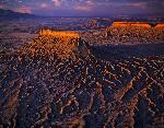
Factory Butte at Sunset
|
|
Dirty Devil Country

|
Dirty Devil

|
|
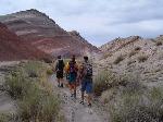
Moroni Slopes
|
Arch Canyon

|
|
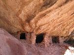
Cedar Mesa-Comb Ridge
|
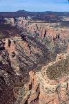
Arch Canyon
|
|
Cedar Mesa and Comb Ridge

|
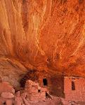
Cedar Mesa
|
|
Indian Creek

|
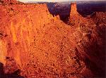
Hatch Cliffs
|
|
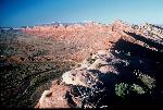
Comb Ridge
|
White Canyon

|
|
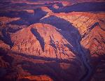
Raplee Ridge
|
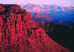
Dome Plateau and Castleton Tower
|
|
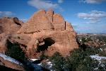
Dome Plateau
|
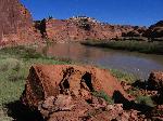
Labyrinth Canyon
|
|
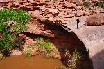
Goldbar
|
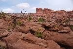
Goldbar
|
|
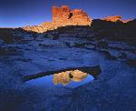
Goldbar
|
Fisher Towers

|
|
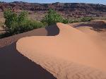
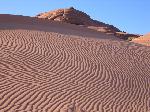
White Wash
|
White Wash
|
|
Gooseneck of the Colorado River

|
Hatch Point

|
|
Hatch Point

|
Hatch Wash

|
|
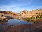
Tenmile Canyon
|
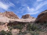
Tenmile Canyon
|
|
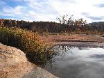
Tenmile Canyon
|
|
More Photo Albums


